When Land Decisions Wash Downstream, B.C. Should Show the File
The lawsuit is untested. The accountability question is already public.
Video lead
Castanet/BIV linked to a Facebook aerial video described as showing damage at the Wineglass ranch. The lawsuit’s allegations have not been tested in court.
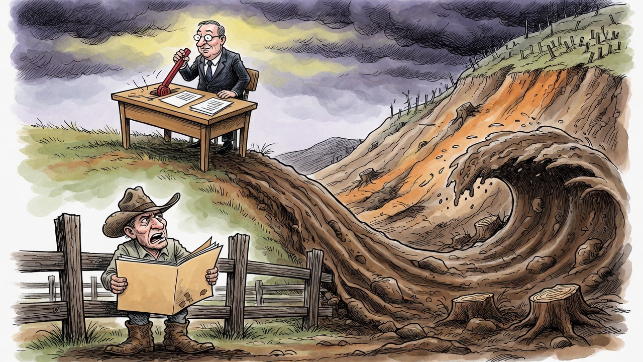
A civil claim over the Chilcotin River landslide has put a blunt question in front of B.C.’s government: when land-use approvals stack up across a watershed, who is accountable if the damage rolls downstream?
Castanet, republishing Business in Vancouver reporting, said Wineglass Cattle Co. Ltd., a 1,000-hectare ranch near Williams Lake abutting the Chilcotin River, has filed a B.C. Supreme Court claim alleging provincial approvals of logging, prescribed burns and water diversion helped trigger the 2024 landslide, dam and flood. The claim seeks unspecified damages for negligence and private nuisance. None of the allegations have been tested in court.
That legal caution matters. A statement of claim is not a finding of fact. The province told BIV it had not been served and, as a general practice, does not comment on matters before the courts. Ducks Unlimited Canada and the Investment Agricultural Foundation were also named in relation to the water-diversion work; the reporting said one was looking into the matter and the other declined comment.
But the public record already shows why this case matters beyond one ranch. B.C.’s own July 31, 2024 bulletin said a landslide blocked the Chilcotin River near Farwell Canyon, which feeds into the Fraser River, and that flood warnings, flood watches and an evacuation order were issued. On Aug. 1, the province estimated the slide at roughly 600 to 800 metres long, 300 to 600 metres wide and about 30 metres deep, with water backing up behind debris that was susceptible to rapid erosion.
Castanet/BIV reported the July 31 slide occurred about six kilometres upstream of the ranch, was about 30 metres high and 600 metres long, and displaced an estimated six million cubic metres of soil, sand and rock. The lawsuit alleges the flood caused erosion, damaged buildings, infrastructure, personal property and land value, and prevented ranch operations.
The sharpest accountability issue is cumulative effects. The reporting quotes experts who describe a complicated valley with a long landslide history, wildfire disturbance, logging, salvage cutting and changed water movement through soils. One UBC forest hydrology professor argued the province still relies on an outdated watershed-assessment framework that focuses too narrowly on single triggers instead of cumulative risk.
Victoria does not have to litigate the case in public to answer the governance question. It can release the decision trail: what watershed assessments were used, what logging and burn approvals were considered, what water-diversion risk analysis was done, what post-fire or post-salvage cumulative-effects review existed, and how landslide/flood risk was communicated to downstream landowners.
If B.C.’s land-management system is sound, sunlight should help prove it. If it is not, the public should not have to wait for a ranch lawsuit to learn whether the province is still approving upstream disturbance with downstream risk treated as somebody else’s problem.
Sources and records
- Castanet / Business in Vancouver: B.C.’s land management decisions led to catastrophic flood, claims suit
- EmergencyInfoBC: Chilcotin River Landslide Information for B.C.
- Government of B.C.: Flood warning, flood watches and evacuation order issued due to Chilcotin River landslide
- Government of B.C.: Chilcotin River landslide update, Aug. 1, 2024
- Government of B.C.: Chilcotin River Landslide Situation Update, Aug. 6, 2024
- Facebook video lead cited by Castanet/BIV