Eby’s Tahltan Denial Shows B.C. Needs a Land-and-Title Ledger
The NDP says the 97,000-square-kilometre claim is wrong. Fine. Then show British Columbians exactly what is being negotiated, what is not, and who signs off.
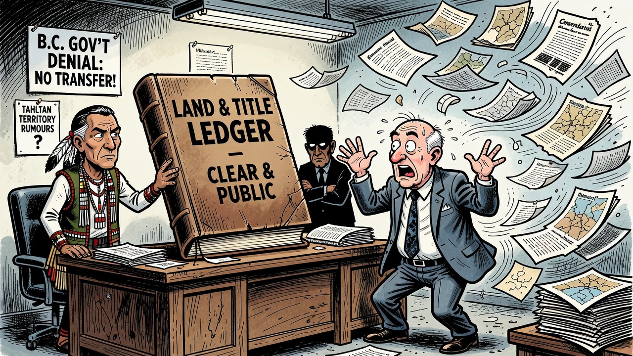
David Eby’s government is rejecting the B.C. Conservatives’ claim that Victoria is quietly moving toward massive land transfers to First Nations. Good. If the opposition number is wrong, the public should know that. But the NDP’s denial does not solve the deeper problem: British Columbians are still being asked to piece together land, title and shared-governance commitments from media reports, Public Accounts notes and old agreements.
Postmedia reported that the Conservatives claimed more than 97,000 square kilometres — roughly the size of Portugal — could be transferred to First Nations, with nearly 96,000 square kilometres tied to the Tahltan Nation’s traditional territory. The province’s response was categorical on the biggest point: it said no secret handover of all public lands in Tahltan territory is underway.
The Ministry of Indigenous Relations and Reconciliation also told Postmedia there is no mandate to enter formal Aboriginal-title negotiations with Tahltan and said that, if such a mandate were sought, it would not be for the entirety of Tahltan traditional territory. That is an important distinction. The Conservative claim is an allegation and should not be repeated as fact.
But the official record also shows why this controversy caught fire. The 2020 Shared Prosperity Agreement between B.C. and Tahltan is public, and it does not say all Tahltan territory is being transferred. It does, however, set up negotiations toward a Foundation Agreement based on recognition of Tahltan Aboriginal title and rights, and it specifically includes work to identify and negotiate lands in the Dease Lake, Iskut and Telegraph Creek areas for transfer to Tahltan.
Northern Beat has reported, based on public documents and redacted FOI records obtained by the Public Land Use Society, that the broader Tahltan file includes governance, revenue, land-transfer and title-recognition questions across a mineral-rich region. Those are reported claims about documents and negotiations, not a signed final agreement. Still, they point to the real accountability issue: the public has no single, official, plain-language map of what is active, what is theoretical and what is off the table.
The same applies to the Public Accounts land numbers. Postmedia reported that the smaller 1,350-square-kilometre figure cited by Conservatives relates to treaty negotiations that have often been underway for decades and have been publicly reported, including the Kitsumkalum agreement announced last year. That context matters. So does the fact that the public should not need a newspaper fact-check to understand the scale and legal status of Crown-land obligations.
Eby’s government likes to say reconciliation brings certainty. Then it should act like certainty is owed to everyone: First Nations, local governments, workers, landholders, resource communities and ordinary voters. Publish the ledger. List each file. Show the affected geography. Separate treaty land from other Crown transfers. Separate shared decision-making from title recognition. Name the required cabinet, legislative or public-approval steps.
If the 97,000-square-kilometre claim is wrong, prove it with daylight. Rumour thrives when the government’s answer is “trust us” and the documents are scattered across half a dozen portals.
Sources and records
- Vancouver Sun / Postmedia: B.C. rejects claim of massive, secret land transfers to First Nations
- Conservative Party of B.C. caucus release: Massive NDP land transfers could total up to 24 million acres
- Northern Beat: Backed by Ottawa, B.C. negotiates governance, Aboriginal title in mineral-rich northwest
- Province of B.C. / Tahltan: 2020 Shared Prosperity Agreement